Hydrographic/Bathymetric Soundings
Mainstream has the experience, equipment, and capability to perform hydrographic/bathymetric soundings needed for pre-construction, post-construction, dredging surveys, etc.
We are experienced with providing both single-beam and multi-beam sonar surveys.
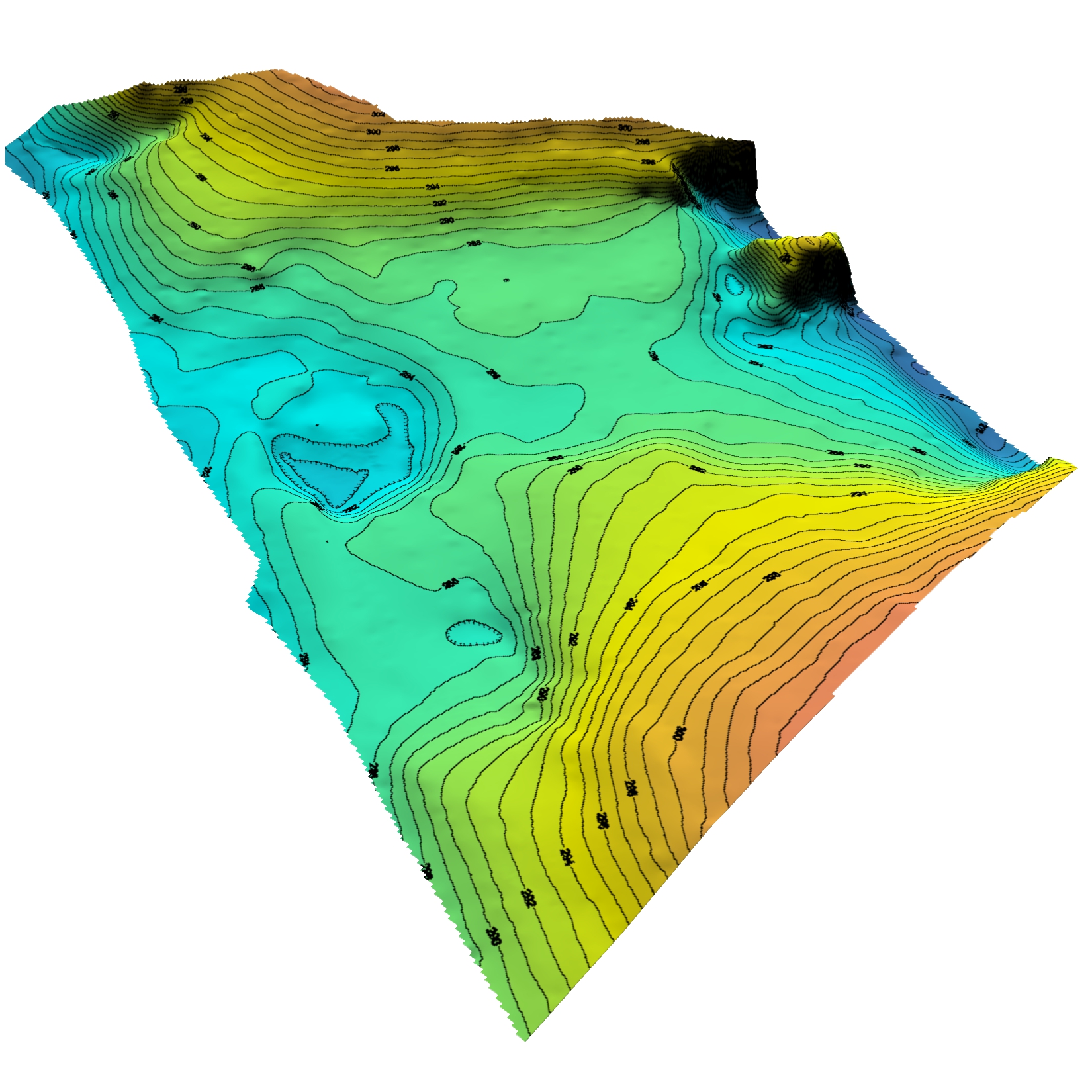
Single-Beam Sonar
Single-beam sonar surveys are collected allowing us to create a basic contour map. Often times these are used for initial design surveys.
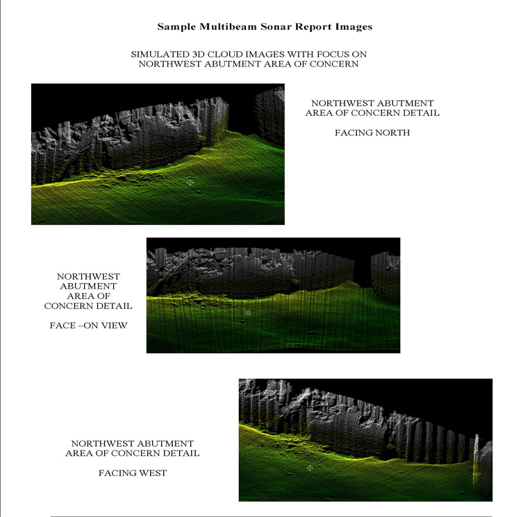
Multi-Beam Sonar
Multi-beam sonar provides for wider swath coverage than single-beam sonar and typically allows 100% bottom coverage, although in very shallow water, the bottom that is covered per swath may still be limited.